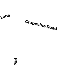
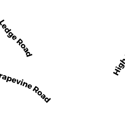
19 GRAPEVINE RD
Owner Information
FAHEY JENETH
19 GRAPEVINE RD
GLOUCESTER, MA 01930 0000


Property Details
19 GRAPEVINE RD is classified as a Single Family Residential (Colonial).
The primary structure on this property was built in 1926. There are 2,478ft2 of built area within this property. There is 2,270ft2 of residential/living space within this property.
19 GRAPEVINE RD is valued at $615,100. The land is valued at $293,800 and the structures are valued at $297,000. There is an additional valuation of $24,300 on this property.
This property is in Zone R-20. Confirm with local Zoning Board authorities to ensure there are no overlays or other easements on this property.
19 GRAPEVINE RD was last sold on Monday, July 1, 1985 for $120,000.
Assessment data from fiscal year 2022.
Flood Data
According to the FEMA National Flood Hazard Layer, this property does not appear to be in a flood zone. It may also be in an area not yet reviewed. Nonetheless, confirm this information prior to taking any action.
To view the flood hazards around this property, create a FEMA "Firmette" Map of the area around 19 GRAPEVINE RD.
Broadband Internet Providers
| Provider | Type | Bandwidth (mbps) | |
|---|---|---|---|
| HughesNet | Satellite | 25 | 3 |
| GCI Communication Corp. | Satellite | 0 | 0 |
| Cape Ann Communications | Fixed Wireless | 20 | 20 |
| Comcast | Cable | 1000 | 35 |
| Verizon New England Inc. | DSL | 7 | 0 |
| Viasat Inc | Satellite | 100 | 3 |
| VSAT Systems, LLC. | Satellite | 2 | 1 |
Broadband service provider data from December 2020.
Adjacent Properties
- 5 HILLSIDE RD #1
Residential Condominium owned by HENNESSEY CONSTANCE J TR - 7 HILLSIDE RD #2
Residential Condominium owned by ANDREWES BRIGHI JULIE - 5 HILLSIDE RD
Other, Open Space owned by 5 & 7 HILLSIDE CONDO TRUST - 17 GRAPEVINE RD
Two-Family Residential owned by OPPENHEIM B & LEIBOWITZ H TRS - 17R GRAPEVINE RD
Undevelopable Residential Land owned by OPPENHEIM B & LIEBOWITZ H TRS - 21 GRAPEVINE RD
Single Family Residential owned by HOBBS JOANNE F